
Chart Okaloosa County ZIP Areas
Eighteen listed postal codes serve Okaloosa County communities, rural routes, post-office boxes, and federal installations. The labels below describe principal postal identity, not a promise that every address lies within the named municipality. The official county map and a current USPS check remain the best pair for a specific location.
| ZIP Code | Areas Covered | Post Office | Notes |
|---|---|---|---|
| 32531 | Baker and northwest rural routes | Baker postal identity | Some boundary overlap |
| 32536, 32537, 32539 | Crestview and surrounding county territory | Crestview postal identity | Postal areas extend past city limits |
| 32540, 32541 | Destin and nearby coast | Destin postal identity | 32540 is box-associated; verify delivery type |
| 32542, 32544 | Eglin AFB and Hurlburt Field | Military installation mail | Federal geography |
| 32547, 32548, 32549 | Fort Walton Beach and nearby unincorporated pockets | Fort Walton Beach postal identity | 32549 is box-associated |
| 32564, 32567 | Holt and Laurel Hill rural areas | North and west county mail | 32567 reaches neighboring-county geography |
| 32569 | Mary Esther and nearby county land | Mary Esther postal identity | City and unincorporated territory |
| 32578, 32588 | Niceville and Bluewater Bay vicinity | Niceville postal identity | 32588 is box-associated |
| 32579, 32580 | Shalimar, nearby south county, and Valparaiso | Shalimar and Valparaiso | 32579 covers more than Shalimar town limits |
Several cases deserve care. The 32547 area includes Wright, Ocean City, and unincorporated addresses. ZIP 32541 covers Destin, Crystal Beach, and Holiday Isle. The 32578 postal area reaches Niceville and unincorporated Bluewater Bay toward Walton County. Codes 32540, 32549, and 32588 are associated with post-office boxes, but their current delivery type should be checked live rather than assumed.
Map Okaloosa ZIP Codes Locally
The county GIS Division's 2026 Street Atlas and map downloads supply the local geographic view. The atlas has a grid index, street index, and more than 60 map pages showing municipal limits, ZIP boundaries, airports, schools, parks, emergency sites, and water. That mix makes it more useful than a bare postal-code list when an address sits near a city line.
GIS staff can help resolve map questions at 850-651-7570. New or conflicting address assignments belong with E911/GIS or the relevant municipal addressing staff. The postal service verifies deliverability and postal city, while county GIS identifies parcel and local jurisdiction. Those are related answers, not the same answer.
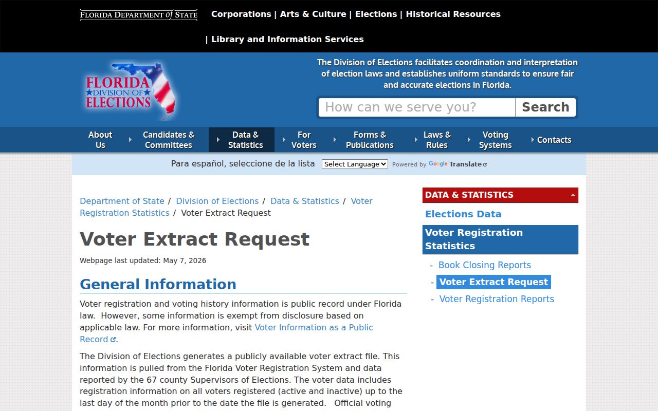
The public voter extract instructions are shown at the Florida Division of Elections request page.
Separate Okaloosa Postal City Limits
A Fort Walton Beach, Crestview, Niceville, or Destin mailing line may belong to an unincorporated parcel. This is the key myth to drop before using an Okaloosa County ZIP code directory. Postal names help route mail; they do not define the city that issues permits, collects a municipal tax, or keeps a city record.
Use the phrase “postal area” until incorporation has been checked in OkaloosaGIS. For Destin, the city's parcel tool adds a city-limit check. Coastal annexation and growth make this especially important, while long northern rural parcels may be more stable under a parcel ID and legal description than under an old route address.
Boundary check. A ZIP code identifies postal service geography. Use the parcel layer to decide which government jurisdiction holds a local record.
Read Okaloosa Military ZIP Geography
Eglin Air Force Base uses 32542, and Hurlburt Field uses 32544. These installation codes cut across ordinary civic assumptions. Federal land, active-duty turnover, and protected personnel data also make a civilian directory method incomplete. A postal match should not be stretched into a claim about who occupies a base address.
For lawful family history, base newspapers, public-affairs histories, unit yearbooks, and National Archives personnel routes may supply historical context. Current installation rosters are not public resident lists. Off-base postal areas can help narrow a search, but each later fact still needs an official source.
Find Okaloosa Residents by ZIP
ZIP-wide resident work is not one click. OkaloosaGIS can show address and ZIP layers, while the Property Appraiser's basic search is keyed to owner, address, or parcel rather than a promised ZIP export. A broad parcel analysis should use GIS selection or a requested tax-roll extract. Florida voter data has its own written extract process and privacy exclusions.
- Check the full address with USPS to confirm delivery format and postal city. Do not treat that result as proof of incorporation.
- Open OkaloosaGIS, locate the address or parcel, and compare the ZIP and municipal layers. Record the parcel ID for a stable key.
- Open the official property card to separate the situs address from the owner's mailing address and legal description.
- For lawful area research, use GIS data or request a tax-roll or voter extract through the documented channel. Respect all confidential and exempt records.
Once a postal area has been narrowed to an address or named road, the Okaloosa County street directory explains the street-level parcel route. It is more precise than repeatedly guessing names within a large ZIP.
Use Okaloosa ZIP Search Fields
The county tools separate postal confirmation, mapped jurisdiction, and parcel evidence. None is a general public roster. The Property Appraiser can take an owner name, location address, or parcel number; GIS can search an address and provide spatial and layer context. A voter checking personal status uses a different state form.
| Tool or field | Input | What it settles |
|---|---|---|
| USPS ZIP Lookup | Full delivery address | Postal format, city, and current ZIP |
| OkaloosaGIS address search | Address or mapped parcel | Parcel, ZIP layer, and municipal context |
| Property search | Owner, location address, or parcel ID | Current parcel card and situs |
| Voter self-lookup | First and last name, full birth date, acknowledgment | The voter's own registration status |
| Voter extract request | Requester contact and delivery details | Public county data supplied on scheduled media |
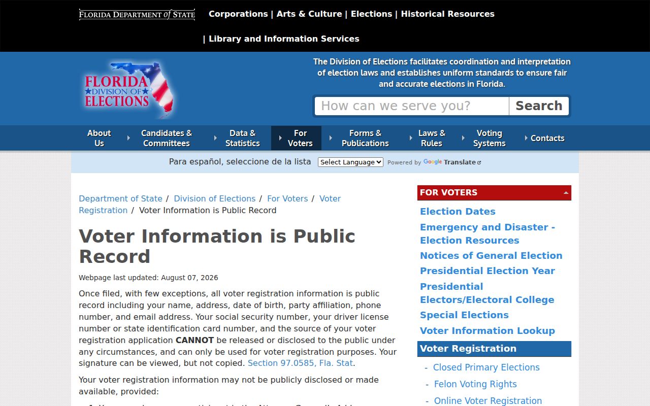
Florida's voter information rules identify both public and protected fields.
Keep an Okaloosa Parcel Key
A parcel ID can outlast a postal-city shift, renamed road, changed direction, or rural-route conversion. County metadata decodes the sample number 25-1S-24-1570-000A-0010 as section 25, township 1 South, range 24, subdivision 1570, block 000A, and parcel 0010. That stable land key is more useful for old deeds and maps than a ZIP alone.
The property card also keeps three ideas separate. Situs is the assigned parcel location. Mailing address is where tax notices go. The legal description identifies the land in title terms. An out-of-area mailing address does not move the property or identify its current occupant.
Note: Okaloosa's 2026 atlas is current local context, but operational postal polygons can change and still require a live address check.
Request Okaloosa ZIP Data Narrowly
Florida's Division of Elections distributes monthly county files for active and inactive voters, with separate participation-history files. The request is written, delivery is by mailed disk or scheduled pickup, and standing requests expire each calendar year. Late requests become ordinary public-record requests and may carry administrative charges. The self-lookup form cannot browse a neighborhood or ZIP.
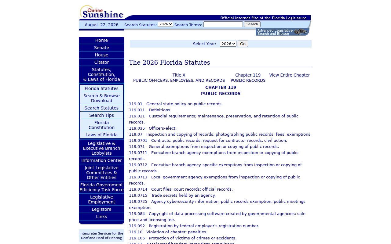
A ZIP-based county dataset request should name the record and useful fields instead of asking an office to conduct open-ended research. The county chapter 119 request route applies to records held by county departments, but not to the Clerk, Sheriff, Elections office, Tax Collector, or Property Appraiser. Each constitutional custodian answers for its own files.
The statute itself is shown at the Florida Public Records Act page.
Define Okaloosa ZIP Boundaries
The Okaloosa County ZIP code directory is a postal starting point, not a city directory or an occupant roll. Census ZIP Code Tabulation Areas are statistical approximations, not operational USPS boundaries. County ZIP polygons are valuable map context, but one full address should still be checked with USPS and GIS before a jurisdictional conclusion is made.
- ZIP vs ZIP+4
- A ZIP is the five-digit delivery area. ZIP+4 adds a more precise delivery segment.
- PO-box ZIP
- A code associated chiefly with post-office boxes rather than ordinary street delivery.
- Unique ZIP
- A postal code assigned for a large organization or installation instead of a normal civic area.
- Carrier route
- A postal delivery path within a ZIP, which does not match a city ward or parcel boundary.
In Okaloosa County, 32539 reaches Crestview and Dorcas-area county territory; 32579 joins a Shalimar mailing identity with wider south-county and Cinco Bayou geography. These examples show why the parcel layer, not the envelope line, decides the proper permitting or records office.
Military and coastal postal areas need the same care. Eglin Air Force Base and Hurlburt Field shape central and south-county delivery patterns, while Destin, Crystal Beach, Holiday Isle, Wright, and Ocean City can share postal labels that do not state the governing city. Seasonal property also widens the gap between an owner's tax-mail address and the people present at a parcel. Keep the full street address, parcel ID, USPS result, and GIS jurisdiction together. Those four facts let a later records request reach the correct municipal or county custodian without claiming that everyone inside one ZIP code shares the same civic boundary.